
Country United States County Rice Time zone Central (CST) (UTC-6) Elevation 547 m | State Kansas Area code(s) 620 Local time Tuesday 2:38 PM | |
 | ||
Weather 15°C, Wind NE at 37 km/h, 37% Humidity | ||
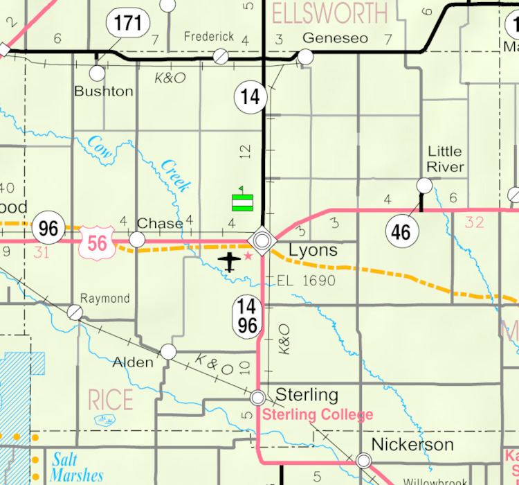
Silica is an unincorporated community in southwestern Pioneer Township, Rice County, Kansas, United States. It lies along local roads a fraction of a mile (about 500 m) north of U.S. Route 56/K-96, 6 miles (9.7 km) east of Ellinwood and 14 miles (23 km) west of Lyons, the county seat of Rice County.
Contents
Map of Silica, Pioneer, KS 67526, USA
History
For millennia, the land now known as Kansas was inhabited by Native Americans. In 1803, most of modern Kansas was secured by the United States as part of the Louisiana Purchase. In 1854, the Kansas Territory was organized, then in 1861 Kansas became the 34th U.S. state. In 1867, Rice County was founded.
Silica had a post office from 1893 until 1953.
References
Silica, Kansas Wikipedia(Text) CC BY-SA