
Country Mexico | State Oaxaca | |
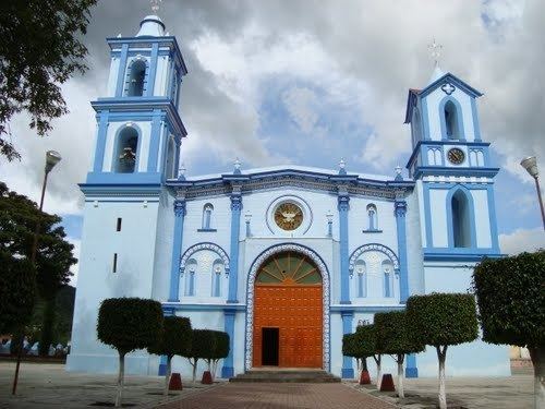 | ||
Silacayoapam District is located in the northwest of the Mixteca Region of the State of Oaxaca, Mexico.
Contents
Map of Silacayo%C3%A1pam, Oaxaca, Mexico
The climate is temperate, with average temperature of 20.6°C. The warmest area is the municipality of San Nicolás Hidalgo (21.1°C) and the coolest is San Mateo Nejapam (19.6°C). Annual rainfall is about 920 mm, with highest rainfall in September. The region has coniferous forests that include ceiba, huanacastle, pine, strawberry, moral, and oak. Wildlife include rattlesnake, quail, frog, lynx, mountain rabbit, coyote, gray fox, owl, red squirrel, eagle, hawk, necklace dove and owl.
Municipalities
The district includes the following municipalities:
References
Silacayoapam District Wikipedia(Text) CC BY-SA