
Country Thailand Time zone THA (UTC+7) Geocode 3322 Population 20,857 (2005) | Seat Kung Postal code 33160 Area 131.8 km² Province Sisaket Province | |
 | ||
Sila Lat (Thai: ศิลาลาด) is a district (Amphoe) in the northwestern part of Sisaket Province, northeastern Thailand.
Contents
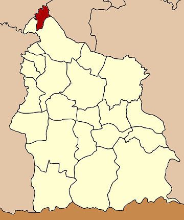
Map of Sila Lat District, Sisaket 33160, Thailand
History
The minor district (King Amphoe) was established on July 1, 1997, when four tambon were split off from Rasi Salai district.
Following a decision of the Thai government on May 15, 2007, all of the 81 minor districts were to be upgraded to full districts. With the publishing in the Royal Gazette on August 24 the upgrade became official.
Geography
Neighboring districts are (from the south clockwise) Rasi Salai of Sisaket Province, Phon Sai, Nong Hi and Phanom Phrai of Roi Et Province, and Maha Chana Chai of Yasothon Province.
Administration
The district is subdivided into 4 subdistricts (tambon), which are further subdivided into 44 villages (muban). There are no municipal (thesaban) areas, and 4 Tambon administrative organizations (TAO).