
Website www.munisihuas.gob.pe | UBIGEO 0219 Area 1,456 km² Region Ancash Region | |
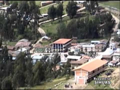 | ||
The Sihuas Province is one of twenty provinces of the Ancash Region in Peru.This province was created by Law nº 13485, dated at January 9 of 1961, when was president of Perou: Manuel Prado. It is bordered by provinces of Huaylas and Corongo on the west, Pallasca Province on the north, La Libertad Region on the east, and Pomabamba Province on the south.
Contents
- Map of Sihuas Province Peru
- Political division
- Ethnic groups
- Earthquake of November 10 1946
- Main events
- References
Map of Sihuas Province, Peru
Political division
Sihuas is divided into ten districts, which are:
Ethnic groups
The province is inhabited by indigenous citizens of Quechua descent. Spanish is the language which the majority of the population (62.89%) learnt to speak in childhood, 36.83% of the residents started speaking using the Quechua language (2007 Peru Census).
Earthquake of November 10, 1946
On November 10, 1946, a magnitude 7.3 earthquake struck the province. The epicenter is estimated to have occurred at 8°20' S. 77°50' W. at a depth of 30 – 40 km. The surface fault was observed to run about 18 km northwest from Quiches toward Conchucos. The quake was "the first well-observed instance of major faulting." The fault was purely slip-dip (vertical), with an offset of as much as 3.5 meters (11 feet). The quake and resulting landslides resulted in a death toll estimated at 1400 - 1700, a substantial number given the sparse population in the area. The village of Acobamba was buried by one landslide, killing 217.