
Founded 1689 Website Official website Team Parrillas One | Elevation 1,100 m (3,600 ft) Local time Tuesday 9:05 AM | |
 | ||
Weather 19°C, Wind N at 13 km/h, 62% Humidity Colleges and Universities Escuela Nacional de Ciencias Forestales Points of interest San Juan Park, Centro Recreacional Aquarium, Calanterique | ||
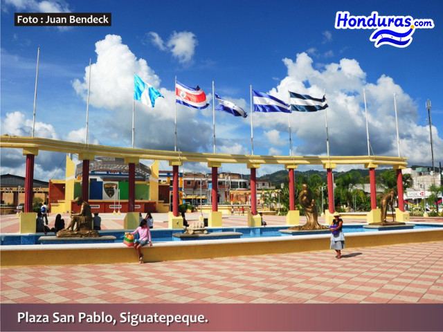
Siguatepeque is a growing city in the Central Mountains of Honduras, Central America at 1100 meters above sea level and surrounded by mountains.
Contents
Map of Siguatepeque, Honduras
Located almost exactly halfway between Honduras' two largest cities of San Pedro Sula and Tegucigalpa, it is a major stopping point for rest and refreshment for Honduran and international inter-city traffic.
The town is at the center of a regional vegetable and fruit production area, ensuring a year-round supply of fresh cheap produce.
Novatos crew trip siguatepeque
Climate
The climate is mild. There are three seasons. During the wet and fairly cool season between May and November, enough rain falls in the area to ensure luxurious vegetation, while it escapes the excessive humidity of the far hotter and wetter lowland areas. A cooler interlude (November to February) provides seasonal contrast, with temperatures occasionally down to 8°C (40°F) as cold fronts enter from the north. This is followed by a dry season (February to May), with temperatures achieving a pleasantly warm peak of 32°C (95°F). Cool winds flow down from the local Calanterique forest and from the immense Cordillera Montecillos, a Biological Reserve on the southern edge of the valley. Even in the hot season air conditioning is unnecessary, with a fan almost always being enough. In the winter heating is rarely needed.
History
Founded by the Spanish in 1689 as a religious centre for retreats and monastic training, the population of the town grew through the intermarriage of colonists, the indigenous Lencas and the Mexican Nahuatl immigrants. Allegedly, the name means ‘mount of beautiful women’ in the Nahuatl Mexican dialect. The name Siguatepeque is made up of two words in Nahuatl: Cihuatl: Woman and Tepec:Mount, the mount of women. Siguatepeque is located more than 1,000 metres above the sea level.
In 1861 the town became a municipality in its own right, and a city in 1926.