
Population 404 (2011 census) Civil parish Sigglesthorne Local time Tuesday 11:51 AM | OS grid reference TA155457 Dialling code 01964 | |
 | ||
Weather 8°C, Wind SW at 40 km/h, 51% Humidity | ||
A flooded road between leven and sigglesthorne
Sigglesthorne is a small village and civil parish in the East Riding of Yorkshire, England. It is situated approximately 3 miles (4.8 km) west of Hornsea on the A1035 road (formerly B1244) where it meets the B1243 road.
Contents
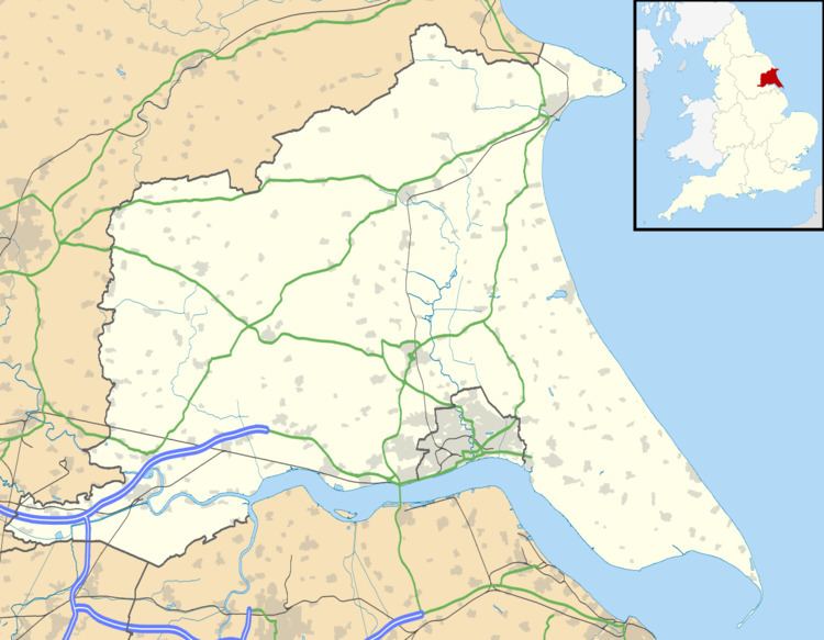
Map of Sigglesthorne, Hull, UK
According to the 2011 UK census, Sigglesthorne parish had a population of 404, an increase on the 2001 UK census figure of 282.
The village has around 175 houses. There is also an ancient church dedicated to St. Lawrence that was designated a Grade II* listed building in 1966 and is now recorded in the National Heritage List for England, maintained by Historic England. There is also a Church of England school.
It is rumoured throughout the village that the settlement was given its name as a result of a Viking who lived there. This Viking leader was supposedly called Siggle/Siggul, and since hawthorne is the predominant type of hedge around the village, it was given the name "Siggul's thorne" → Sigglesthorne.
Hornsea Road in Sigglesthorne is now the home to a large garden centre named Spring Garden Centre.