
Canton Clères Area 15.91 km² Population 859 (1999) | Region Normandy Time zone CET (UTC+1) Local time Tuesday 12:00 PM | |
 | ||
Weather 8°C, Wind W at 16 km/h, 65% Humidity | ||
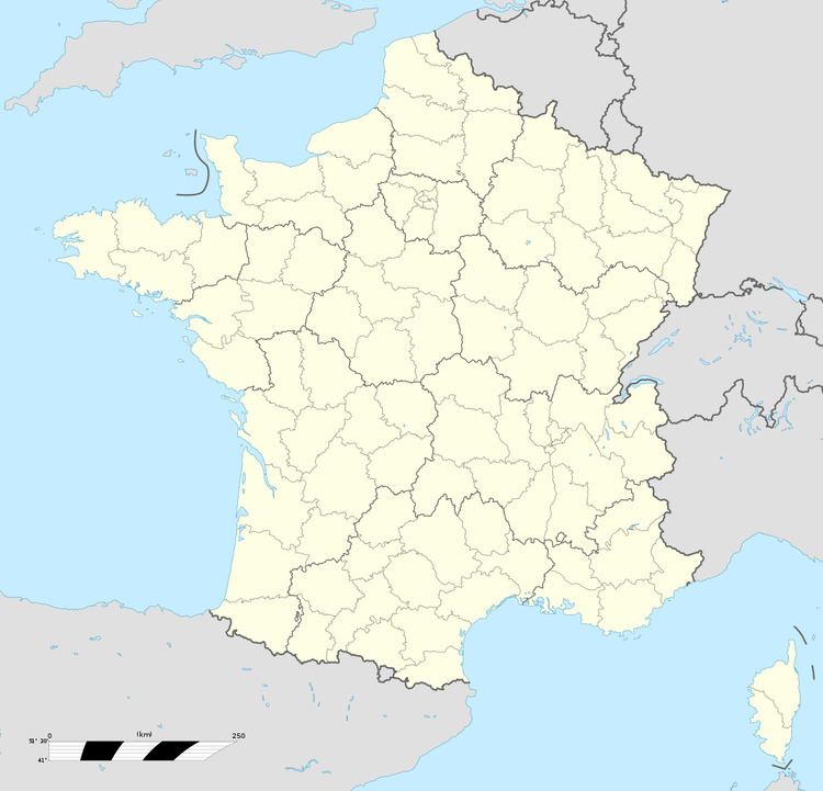
Sierville is a commune in the Seine-Maritime department in the Haute-Normandie region in northern France.
Contents
Map of 76690 Sierville, France
Geography
A farming village situated in the Pays de Caux, some 11 miles (18 km) north of Rouen at the junction of the D927 with the D6, D504 and the D251 roads. The A151 autoroute runs through the middle of the commune’s territory.
Places of interest
References
Sierville Wikipedia(Text) CC BY-SA