
- elevation 2,046 m (6,713 ft) | ||
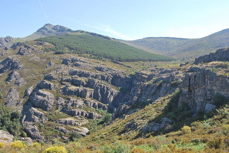 | ||
The Sierra del Ocejón or Sierra del Robledal is a mountain range located in the central part of the Iberian Peninsula.
Contents
Geography
The range belongs to the Sistema Central. Its northern limit is considered the Río Sonsaz while Tamajón's territory is its southern border; from West to East the mountain range stretches from the valley of the Arroyo de la Matilla to the Río Sorbe.
Its highest point is the Ocejón, at 2068 metres. The northern part of the zone is scarcely inhabitated and most of the population lives in the South of the range.
Main peaks
Concerned municipalities
Culture and economy
The villages of the sierra are well known for their typical sheep breeds. Sierra del Ocejón area is also considered one of the places in Spain where the Arquitectura negra, a traditional building technique based on a wide use of slate, is very well preserved.