
Peak Cuchillón | Length 24 km (15 mi) NNW Area 16 ha | |
 | ||
Elevation 2,179–2,222 m (7,149–7,290 ft) | ||
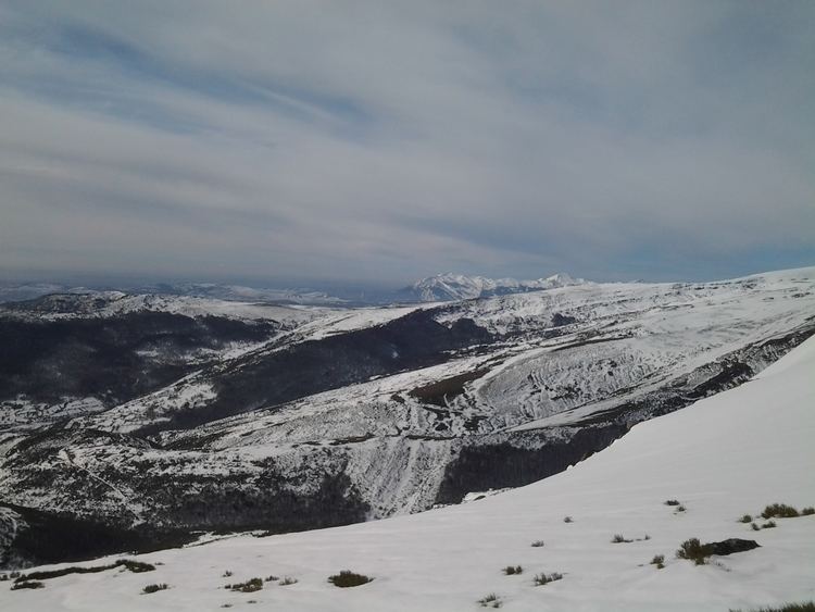
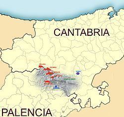
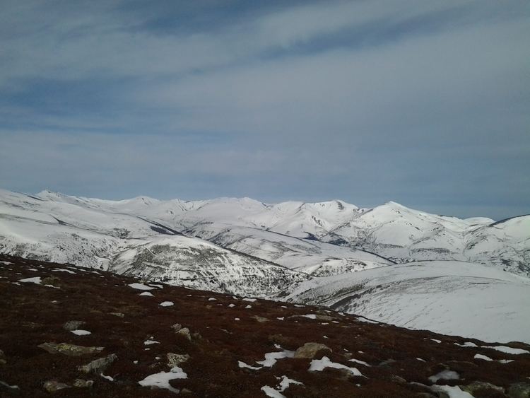
The Sierra de Híjar is a mountain range between the Spanish provinces of Cantabria and Palencia. Its tail has a length of 24 kilometers and follows the direction WNW-ESE. The highest peaks in the range are concentrated in the first 18 kilometers to Collado de Somahoz. From this point, the altitude declines until Las Hoyos (1080 m). It has a maximum width of 5200 meters, between Penaguda and Sel de la Fuente.
Contents
The range's highest point is at the peak of Cuchillón, though its exact altitude differs by author: 2174 meters according to the National Geographic Institute of Spain, and 2222 meters according to Francisco Hernández-Pacheco and other publications by the same National Geographic Institute.
This system marks the boundary between the region Campoo of Cantabria and La Pernia of Palencia, in Castile and León. It is one of the southernmost foothills of the Cantabrian mountain range and the last to raise in excess of 2000 meters.
Main Heights
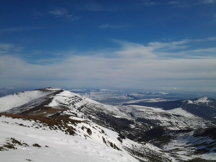
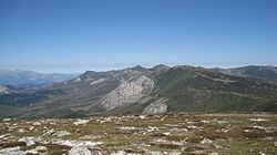
The highest points are concentrated in the central sector, including Tres Mares and Cueto Manin. The western sector contains the long spine of Peña Labra and an access point to the summit from Polaciones. The eastern sector, extending from Sestil to Alto de Hoyos, is the lowest and is called the Cinto Brotherhood.
Toponymy
According to cartographic studies by the National Geographic Institute of Spain and other works, the name "Peña Labra" is often used to refer to this system, especially as seen from the south side. From this perspective, the top of Peña Labra appears most prominently, though it is not the highest in the system. However, all previously existing mapping, including the first series of the National Geographic Institute, or those of Francisco Coello and Quesada and Pascual Madoz, refers to this mountain as "Sierra de Híjar."