
Country United States Time zone CST (UTC-6) Elevation 204 m Local time Monday 10:53 PM | Established November 8, 1859 GNIS feature ID 0429751 Area 94.38 km² Population 1,733 (2010) | |
 | ||
Weather 9°C, Wind NE at 13 km/h, 89% Humidity | ||
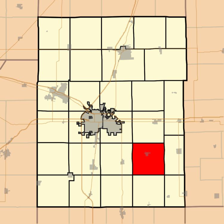
Sidney Township is a township in Champaign County, Illinois, USA. As of the 2010 census, its population was 1,733 and it contained 715 housing units.
Contents
- Map of Sidney Township IL USA
- Geography
- Cities and towns
- Unincorporated towns
- Cemeteries
- Airports and landing strips
- References
Map of Sidney Township, IL, USA
Geography
According to the 2010 census, the township has a total area of 36.44 square miles (94.4 km2), of which 36.32 square miles (94.1 km2) (or 99.67%) is land and 0.12 square miles (0.31 km2) (or 0.33%) is water. The stream of Rush Branch runs through this township. The Salt Fork of the Vermilion River winds its way through the northern sections of the township. Frito-Lay has a large corn handling facility located in section 12 (40°1′50″N 88°1′34″W) along the county highway between Sidney and Homer; it sits near a major Norfolk Southern east-west rail line.
Cities and towns
Unincorporated towns
(This list is based on USGS data and may include former settlements.)
Cemeteries
The township contains six cemeteries: Bliss, Boys Family, Brownfield, Brumley, Lynn Grove and Mount Hope.