
Country Egypt Time zone EST (UTC+2) Local time Tuesday 4:55 AM | Governorate Matruh Elevation 13 m Population 14,393 (2006) | |
 | ||
Weather 13°C, Wind SW at 6 km/h, 74% Humidity | ||
Battle of sidi barrani
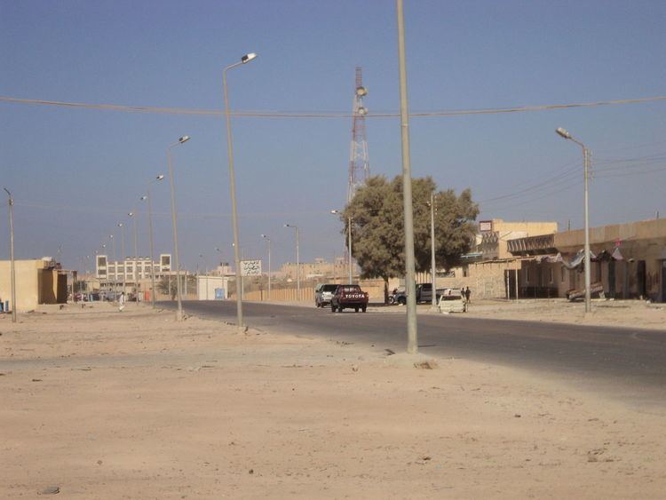
Sidi Barrani (Egyptian Arabic: سيدى برانى [ˈsiːdi bɑɾˈɾɑːni]) is a town in Egypt, near the Mediterranean Sea, about 95 km (59 mi) east of the border with Libya, and around 240 km (150 mi) from Tobruk, Libya.
Contents
- Battle of sidi barrani
- Map of Sidi Barrani Qesm Sidi Brani Matrouh Governorate Egypt
- Fall of sidi barrani
- History
- Climate
- References
Map of Sidi Barrani, Qesm Sidi Brani, Matrouh Governorate, Egypt
Named after Sidi es-Saadi el Barrani, a Senussi sheikh who was a head of its Zawiya, the village is mainly a Bedouin community. It has food and gasoline outlets, and one small hotel, but has virtually no tourist activity or visited historical curiosities. It is the site of an Egyptian air force base.
Fall of sidi barrani
History
Located close to the Roman city of Zygra, in the Roman province of Libya Inferior, Sidi Barrani is often mentioned in historical records to mark the limit of the initial Italian invasion of Egypt from Libya. The Italian Tenth Army built a series of forts in the vicinity.
American Field Service volunteers, providing ambulance services and serving with the British 8th Army were based in the area, in June 1942, 30 miles east of Sidi Barrani.
Sidi Barrani was a destination during the total solar eclipse on October 3, 2005, as expeditions traveled to the best observation point, Zawiet Mahtallah, 27 km (17 mi) east of Sidi Barrani.
Climate
Köppen-Geiger climate classification system classifies its climate as hot desert (BWh), but it is part of the northern coast of Egypt which has moderated temperatures.