
Elevation 238 m Local time Tuesday 8:15 AM | Time zone IST (UTC+5:30) Population 15,740 (2011) | |
 | ||
Weather 21°C, Wind W at 10 km/h, 52% Humidity | ||
Sidhpura is a town and a nagar panchayat in Kasganj district in the Indian state of Uttar Pradesh. It is situated 23km away from Etah in East(also can say partially North-East direction ) and 31.7km away from Kasganj in East. From Etah, There can be reached by bus.
Contents
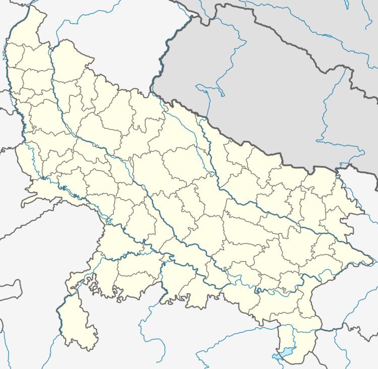
Map of Sidhpura, Uttar Pradesh 207246
Geography
Sidhpura is located at 27.63°N 78.88°E / 27.63; 78.88. It has an average elevation of 238 metres (551 feet).
Demographics
As of 2001 India census, Sidhpura had a population of 12,996. Males constitute 53% of the population and females 47%. Sidhpura has an average literacy rate of 59%, lower than the national average of 59.5%: male literacy is 60%, and female literacy is 44%. In Sidhpura, 19% of the population is under 6 years of age.
References
Sidhpura Wikipedia(Text) CC BY-SA