
Total islands 1 Length 13.5 km (8.39 mi) Elevation 377 m | Adjacent bodies of water Solomon Sea Major islands Sideia Width 15.5 km (9.63 mi) Area 101.3 km² | |
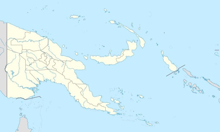 | ||
Sideia Island is an island in the Louisiade Archipelago in Milne Bay Province, Papua New Guinea.
Contents
- Map of Sideia Island Papua New Guinea
- Administration
- History
- Geography
- Demographics
- Economy
- Transportation
- Flora and Fauna
- References
Map of Sideia Island, Papua New Guinea
Administration
The island is part of the following Wards:
All Wards belong to Bwanabwana Rural Local Level Government Area LLG, Samarai-Murua District, which are in Milne Bay Province.
History
Sideia Island was sighted by Europeans when the Spanish expedition of Luís Vaez de Torres arrived on 18 July 1606. Their ship, El-Morata anchored at Oba Bay in the south west, that they then named Puerto San Francisco. Torres named the island St. Bonaventure.
The mission in that island was established on April 22, 1932 by the Australian Province of the French Congregation Missionaries of the Sacred Heart (MSC). By 1942, it was fully developed and became the base for other missions in the nearby islands. Many facilities were set up to provide education, medical assistance and ways of living to the native of the area.
Geography
Sideia is located East of the end of New Guinea mainland. Its area is 101.3 km². The island is part of the Sideia group, itself a part of Samarai Islands of the Louisiade Archipelago. It is located between Sariba Island and Basilaki Island. The island of Sideia is quite near Alotau and can be reached in less than three hours by motor boat.
Demographics
The population of 1890 is living in 30 villages across the island. The most important one, and where the dock is located, is Sideia. The other villages: Lamoasi, Mwalotakilili, Dumalawe, Paka, Gugui, Gadogadowa, Oba, Memeali, Kunubala, Gabutau, Makabweabweau, Nasauwai, Tabuara, Liliki, Kalu, Gotai, Wanahaua, Sekuku, Waiyau, Goteia, Kaula, Kubi, Boikalakalawa, Namoa, Dulaona, Balagatete, Tegerauna
Economy
The islanders, are farmers as opposed to eastern Louisiade Archipelago islanders. they grow Sago, Taro, and Yams for crops.
Transportation
There is a dock at Sideia.
Flora and Fauna
The following mammals are on the island:
The following fish are near the island: