
Country Philippines Founded 1995 Time zone PST (UTC+8) Local time Tuesday 7:22 AM | District Lone district Barangays Area 120 km² Province Guimaras | |
 | ||
Region Western Visayas (Region VI) Weather 26°C, Wind NW at 5 km/h, 81% Humidity Neighborhoods Dasal, Maabay, San Isidro, Sebaste, Ravina, Ayangan, Tanglad, Bubog, Sabang, Inampulugan | ||
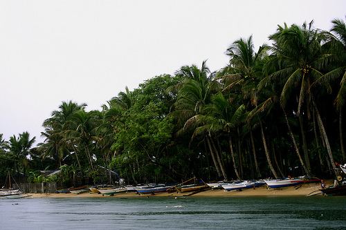
Roro ferry from pulupandan to sibunag port at guimaras island philippines
Sibunag is a fifth class municipality in the province of Guimaras, Philippines. Its territory includes the islands of Inampulugan, Natugna, and several other minor islets in the Guimaras Stait. According to the 2015 census, it has a population of 22,158 people.
Contents
- Roro ferry from pulupandan to sibunag port at guimaras island philippines
- Map of Sibunag Guimaras Philippines
- Barangays
- Demographics
- References
Map of Sibunag, Guimaras, Philippines
The town was created by virtue of Republic Act No. 7896 on February 20, 1995.
Barangays
Sibunag is politically subdivided into 14 barangays.
Demographics
In the 2015 census, the population of Sibunag was 22,158 people, with a density of 180 inhabitants per square kilometre or 470 inhabitants per square mile.
References
Sibunag Wikipedia(Text) CC BY-SA