Country India District Jalore Time zone IST (UTC+5:30) Population 11,004 (2011) Local time Tuesday 3:22 AM | State Rajasthan Talukas Jalore PIN 343024 Area code 02973 ISO 3166 code ISO 3166-2:IN | |
 | ||
Weather 22°C, Wind SE at 3 km/h, 41% Humidity Neighborhoods Rajender Nagar Colony, Patwar Bhawan, Rabariyo Ka Goriya, Shanti Nagar Colony | ||
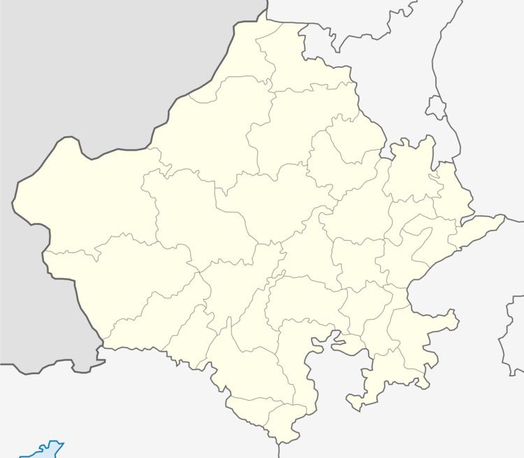
Siana ( also spelt as Siyana) (in Hindi सियाणा) is a village in the Jalore district of Rajasthan. It is located 36 km south east of district headquarters Jalore town. Two important tourist destinations of Rajasthan Mount Abu and Jodhpur are 125 km and 180 km from Siana.
Contents
Map of Siyana, Rajasthan 343024
Demographics
As of 2001 India census, Siana had a population of 9,994. Males constitute 5,032 of the population and females 4,962.
History
Siana was jagir of 12 villages and was in Sirohi state until 1573 A.D. when then ruler of Sirohi gave it to Jalore ruler. Jalore became part of Marwar from 1645 A.D. and so did Siana.it had
References
Siana, Rajasthan Wikipedia(Text) CC BY-SA
