
Country Thailand Tambon 5 Amphoe established 1988 Area 327.9 km² Province Bueng Kan Province | Seat Si Wilai Muban 50 Time zone THA (UTC+7) Population 38,899 (2010) Geocode 3807 | |
 | ||
Si Wilai (Thai: ศรีวิไล; [sǐː wí.lāj]) is a district (Amphoe) in the eastern part of Bueng Kan Province, northeastern Thailand.
Contents
Map of Si Wilai District, Bueng Kan 38220, Thailand
Geography
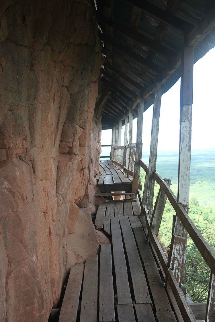
Neighboring districts are (from the north clockwise) Mueang Bueng Kan, Seka and Phon Charoen. Phu Thok, the emblematic mountain of the province, is located in this district.
History
The minor district (King Amphoe) Si Wilai was established on January 1, 1988, when the four tambon Si Wilai, Chumphu Phon, Na Saeng and Na Sabaeng were split off from Bueng Kan district. It was upgraded to a full district on July 4, 1994.
Administration
The district is subdivided into 5 subdistricts (tambon), which are further subdivided into 50 villages (muban). The subdistrict municipality (thesaban tambon) Si Wilai covers the whole tambon Si Wilai. There are further 4 Tambon administrative organizations (TAO).