
Country Thailand Time zone ICT (UTC+7) Area 512.5 km² Province Udon Thani Province | Seat Si That Postal code 41230 Population 47,888 (2005) Geocode 4109 | |
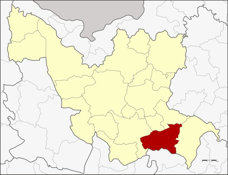 | ||
Si That (Thai: ศรีธาตุ) is a district (amphoe) in the southeastern Udon Thani Province, northeastern Thailand.
Contents
Map of Si That District, Udon Thani, Thailand
Geography
Neighboring districts are (from the west clockwise) Kumphawapi, Ku Kaeo, Chai Wan and Wang Sam Mo of Udon Thani Province, and Tha Khantho of Kalasin Province.
History
The minor district (king amphoe) Si That was created on 1 March 1968 by splitting off the five tambon Champi, Na Yung, Nong Ya Sai, Ban Prong, and Nong Kung Thap Ma from Kumphawapi District. It was upgraded to a full district on 28 June 1973.
Administration
The district is divided into seven sub-districts (tambon), which are further subdivided into 81 villages (muban). Si That is a township (thesaban tambon) which covers parts of tambon Si That. There are further seven tambon administrative organizations (TAO).