
Country Thailand Time zone THA (UTC+7) Area 671.3 km² Geocode 4808 | Seat Si Songkhram Postal code 48150 Province Nakhon Phanom Province | |
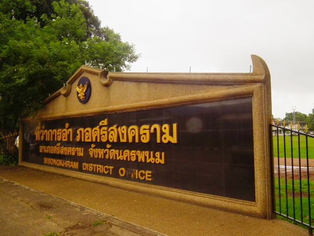 | ||
Si Songkhram (Thai: ศรีสงคราม) is a district (Amphoe) in the province Nakhon Phanom in the northeast of Thailand.
Contents
Map of Si Songkhram District, Nakhon Phanom, Thailand
Geography
Neighboring districts are (from the north clockwise) Na Thom, Ban Phaeng, Tha Uthen, Phon Sawan and Na Wa of Nakhon Phanom Province, and Akat Amnuai of Sakon Nakhon Province.
The district is named after its main river, the Songkhram River.
History
The area was at first part of Tha Uthen district. On April 1, 1926, it was split off as the minor district (King Amphoe) Akat Amnui (อากาศอำนวย) - the present day Akat Amnui district in neighboring Sakon Nakhon was also originally controlled from Tha Uthen. The minor district consisted of the seven tambon Na Wa, Ban Kha, Ban Siao, Sam Phong, Ban Waeng, Na Thom and Ban Phaeng. The minor district was renamed to Si Songkhram in 1939, and was upgraded to a full district on March 10, 1953.
Administration
The district is subdivided into 9 subdistricts (tambon), which are further subdivided into 106 villages (muban). Si Songkhram itself has township (thesaban tambon) status and covers part of the tambon Si Songkhram. There are further 9 tambon Tambon administrative organization (TAO).