
Country Thailand Time zone ICT (UTC+7) Area 217.4 km² Province Roi Et Province | Seat Si Somdet Postal code 45000 Population 37,161 (2005) Geocode 4516 | |
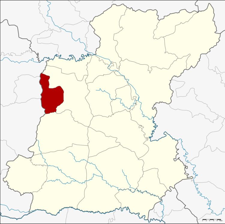 | ||
Si Somdet (Thai: ศรีสมเด็จ) is a district (amphoe) of Roi Et Province, Thailand.
Contents
Map of Si Somdet District, Roi Et, Thailand
Geography
Neighboring districts are (from the north clockwise) Mueang Roi Et and Chaturaphak Phiman of Roi Et Province, Wapi Pathum, Kae Dam and Mueang Maha Sarakham of Maha Sarakham Province.
History
The district was created on 1 April 1987, when the five tambon Pho Thong, Si Somdet, Mueang Plueai, Nong Yai and Suan Chik were split off from Mueang Roi Et District. It was upgraded to a full district on 4 July 1994.
Administration
The district is divided into eight sub-districts (tambon), which are further subdivided into 82 villages (muban). There are no municipal (thesaban) areas, and eight tambon administrative organizations (TAO).
References
Si Somdet District Wikipedia(Text) CC BY-SA