
Country Thailand Time zone THA (UTC+7) Area 565.7 km² Geocode 6406 | Seat Khlong Tan Postal code 64120 Province Sukhothai Province | |
 | ||
Si Samrong (Thai: ศรีสำโรง) is a district (Amphoe) of Sukhothai Province, located in the lower north of Thailand.
Contents
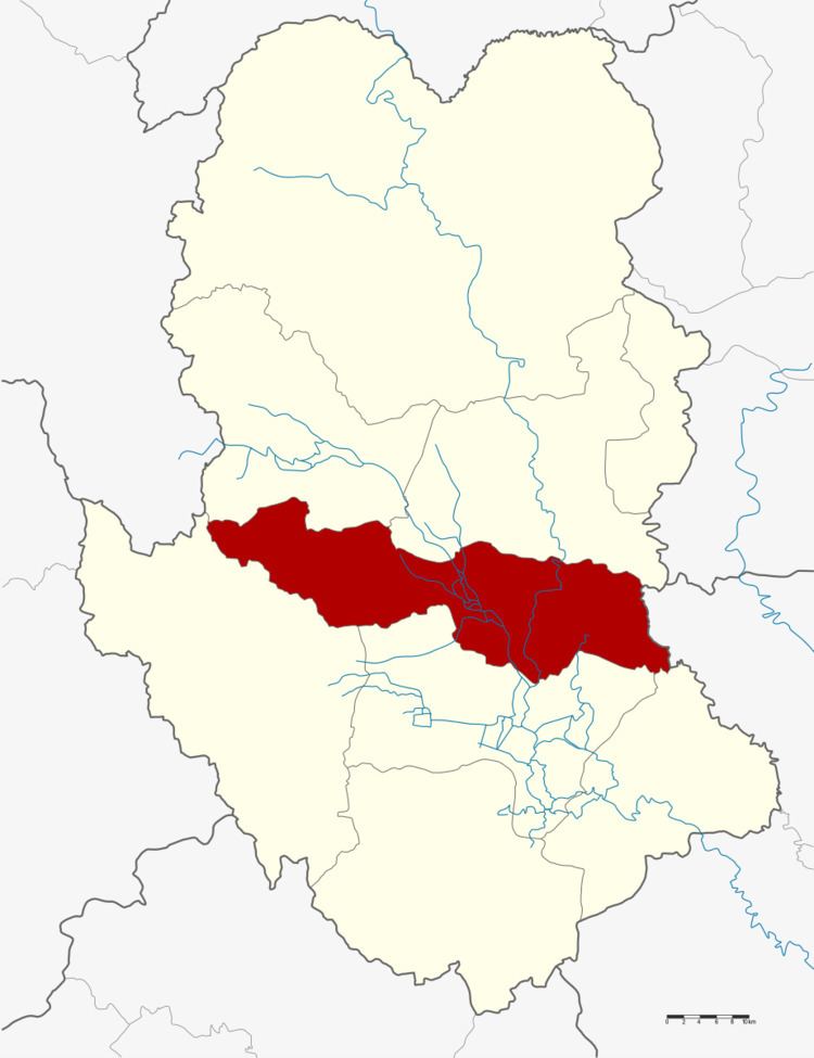
Map of Si Samrong District, Sukhothai, Thailand
Geography
Neighboring districts are (from the south clockwise) Mueang Sukhothai, Ban Dan Lan Hoi, Thung Saliam and Sawankhalok of Sukhothai Province and Phrom Phiram of Phitsanulok Province.
The important water resource is the Yom River.
History
The district was renamed from Khlong Tan to Si Samrong in 1939.
Administration
The district is subdivided into 13 subdistricts (tambon), which are further subdivided into 137 villages (muban). The township (thesaban tambon) Si Samrong covers the whole tambon Wang Luek and parts of the tambon Khlong Tan and Sam Ruean. There are further 12 Tambon administrative organizations (TAO).
References
Si Samrong District Wikipedia(Text) CC BY-SA