
Country Thailand Time zone THA (UTC+7) Area 500.1 km² Province Narathiwat Province | Seat Sako Postal code 96210 Population 31,576 (2005) Geocode 9607 | |
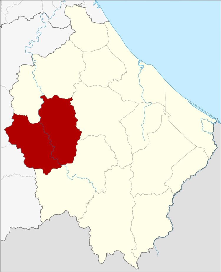 | ||
Si Sakhon (Thai: ศรีสาคร) is a district (amphoe) of Narathiwat Province, southern Thailand.
Contents
Map of Si Sakhon District, Narathiwat, Thailand
History
Originally Tambon Sa Ko was a part of the Rueso district, but the development division of the Thai military settled in the area from 1963–1974, thus developing the infrastructure of Tambon Sa Ko. The interior ministry subsequently created Si Sakhon minor district (King Amphoe) consisting of the two tambon, Sako and Tamayung, on September 23, 1974. It was upgraded to a full district on March 25, 1979.
Etymology
The name Si Sakhon refers to the Sai Buri River, which flows through the middle of the district.
Geography
Neighboring districts are (from the north clockwise) Rueso, Ra-ngae and Chanae of Narathiwat Province, and Than To and Bannang Sata of Yala Province.
Administration
The district is subdivided into 6 subdistricts (tambon), which are further subdivided into 39 villages (muban). The township (thesaban tambon) Si Sakhon covers parts of tambon Si Sakhon and Sa Ko. There are further 6 Tambon administrative organizations (TAO).