
Country Thailand Time zone THA (UTC+7) Area 236.7 km² Province Sisaket Province | Seat Si Kaeo Postal code 33240 Population 51,933 (2008) Geocode 3314 | |
 | ||
Si Rattana (Thai: ศรีรัตนะ) is a district (Amphoe) in the central part of Sisaket Province, northeastern Thailand.
Contents
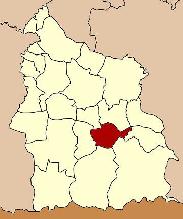
Map of Si Rattana District, Sisaket, Thailand
Geography
Neighboring districts are (from the north clockwise) Phayu, Nam Kliang, Benchalak, Kantharalak, Khun Han and Phrai Bueng.
History
The minor district (King Amphoe) was created on March 5, 1981, when the four tambon Si Kaeo, Phing Phuai, Sa Yao and Tum were split off from Kantharalak district. It was upgraded to a full district on May 26, 1989.
Administration
The district is subdivided into 7 subdistricts (tambon), which are further subdivided into 90 villages (muban). Si Rattana is a subdistrict municipality (thesaban tambon), which covers parts of tambon Si Kaeo and Saphung. There are further 7 Tambon administrative organizations (TAO).
References
Si Rattana District Wikipedia(Text) CC BY-SA