
Country Thailand Muban 64 Postal code 72140 Population 62,419 (2013) Geocode 7205 | Tambon 9 Time zone THA (UTC+7) Area 181 km² Province Suphan Buri Province | |
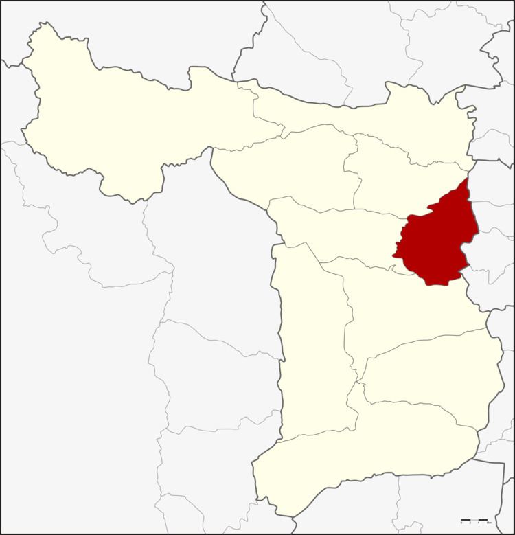 | ||
Si Prachan (Thai: ศรีประจันต์; [sǐː prā.tɕān]) is a district (Amphoe) in the eastern part of Suphanburi Province, central Thailand.
Contents
- Map of Si Prachan District Suphan Buri Thailand
- History
- Geography
- Central administration
- Local administration
- References
Map of Si Prachan District, Suphan Buri, Thailand
History
The government separated some part of Tha Phi Liang district (now Mueang Suphanburi) and Nang Buat district to create the Si Prachan district in 1901.
Geography
Neighboring districts are (from the south clockwise) Mueang Suphanburi, Don Chedi and Sam Chuk, and Sawaeng Ha, Pho Thong, Samko and Wiset Chai Chan of Ang Thong Province.
The main water resource of the district is the Tha Chin river or Suphan river.
Central administration
The district Si Prachan is subdivided into 9 subdistrict (Tambon), which are further subdivided into 64 administrative villages (Muban).
Local administration
There are 6 subdistrict municipalities (Thesaban Tambon) in the district:
There are 4 subdistrict administrative organizations (SAO) in the district: