
Country Vietnam Capital Si Ma Cai Area 241 km² Local time Sunday 10:21 PM | Region Northeast Time zone UTC + 7 (UTC+7) Province Lao Cai Province Population 25,554 (2003) | |
 | ||
Weather 13°C, Wind S at 13 km/h, 91% Humidity | ||
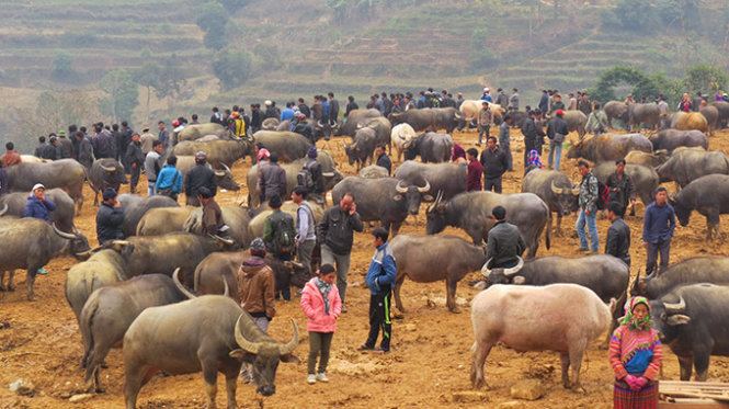
Si Ma Cai is a rural district of Lào Cai Province in the Northeast region of Vietnam. As of 2003, the district had a population of 25,554. The district covers an area of 241 km². The district capital lies at Si Ma Cai.
Contents
Map of Si Ma Cai, Lao Cai, Vietnam
Administrative divisions
Si Ma Cai, Thào Chư Phìn, Bản Mế, Sán Chải, Lùng Sui, Mản Thẩn, Cán Hồ, Sín Chéng, Lử Thẩn, Quan Thần Sán, Cán Cấu, Nàn Sín, Nàn Sán.
References
Si Ma Cai District Wikipedia(Text) CC BY-SA