
Country Thailand Time zone THA (UTC+7) Area 830.6 km² Geocode 3904 | Seat Mueang Mai Postal code 39180 Province Nong Bua Lamphu Province | |
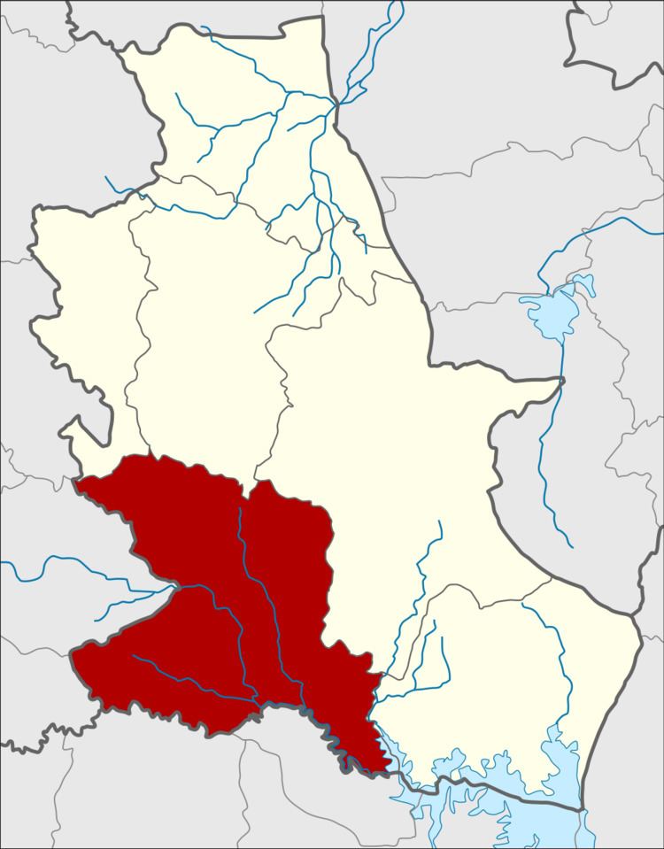 | ||
Si Bun Rueang (Thai: ศรีบุญเรือง; [sǐː būn rɯ̄aŋ]) is a district (Amphoe) in the southwestern part of Nongbua Lamphu Province, northeastern Thailand. It may also be spelled Sri Bun Rueang.
Contents
- Map of Si Bun Rueang District Nong Bua Lam Phu 39180 Thailand
- History
- Geography
- Administration
- References
Map of Si Bun Rueang District, Nong Bua Lam Phu 39180, Thailand
History
The area was Ban Non Sung Plueai of Tambon Yang Lo, Nongbua Lamphu district, Udon Thani Province. The government created it to be a minor district (King Amphoe) on July 16, 1965, which was upgraded to a full district on March 1, 1969.
Geography
Neighboring districts are (from the north clockwise) Na Wang, Na Klang, Mueang Nong Bua Lamphu, Non Sang of Nongbua Lamphu Province, Nong Na Kham, Si Chomphu of Khon Kaen Province, Phu Kradueng, Pha Khao and Erawan of Loei Province.
The important water resource is the Phong River.
Administration
The district is subdivided into 12 subdistricts (tambon), which are further subdivided into 153 villages (muban). There are two townships (thesaban tambon) - Non Sung Plueai covers parts of tambon Mueang Mai, and Chom Thong covers parts of tambon Si Bun Rueang. There are further 12 Tambon administrative organizations (TAO).