
Country Thailand Time zone THA (UTC+7) Area 218.5 km² Province Phatthalung Province | Seat Khao Ya Postal code 93190 Population 16,465 (2005) Geocode 9307 | |
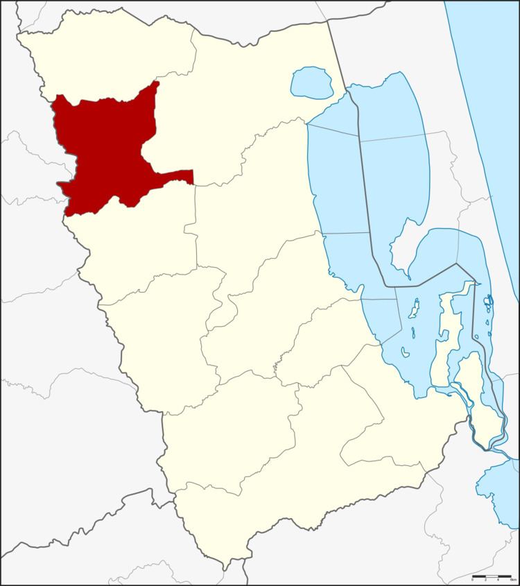 | ||
Si Banphot (Thai: ศรีบรรพต, [sǐː bān.pʰót]) is a district (Amphoe) of Phatthalung Province, southern Thailand. It may also be spelled Sri Banphot.
Contents
- Map of Si Banphot District Phatthalung Thailand
- Geography
- History
- Administration
- Exyternal links
- References
Map of Si Banphot District, Phatthalung, Thailand
Geography
Neighboring districts are (from the north clockwise) Pa Phayom, Khuan Khanun and Srinagarindra of Phatthalung Province, Na Yong, Mueang Trang and Huai Yot of Trang Province.
History
The minor district was established on December 1, 1977, when three tambon were split off from Khuan Khanun district. It was upgraded to a full district on November 4, 1993.
Administration
The district is subdivided into 3 subdistricts (tambon), which are further subdivided into 30 villages (muban). There are no municipal (thesaban) areas, and 3 Tambon administrative organizations (TAO).
Exyternal links
References
Si Banphot District Wikipedia(Text) CC BY-SA