Local time Sunday 4:05 PM | ||
 | ||
Weather 26°C, Wind N at 19 km/h, 33% Humidity Similar Sippar, Smyrna, Tell Beydar | ||
Kurgal shuruppak
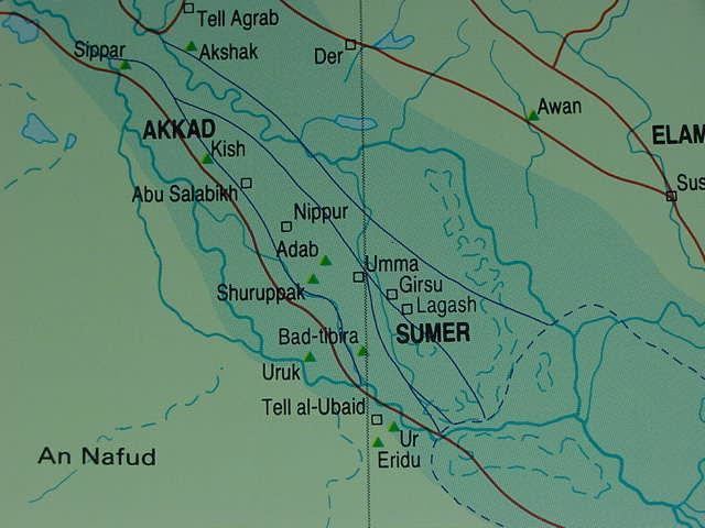
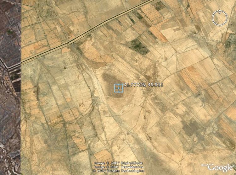
Shuruppak or Shuruppag (Sumerian: "The Healing Place"), modern Tell Fara, was an ancient Sumerian city situated about 35 miles south of Nippur on the banks of the Euphrates in Iraq's Al-Qādisiyyah Governorate. Shuruppak was dedicated to Ninlil, also called Sud, the goddess of grain and the air.
Contents
Shuruppak and its environment
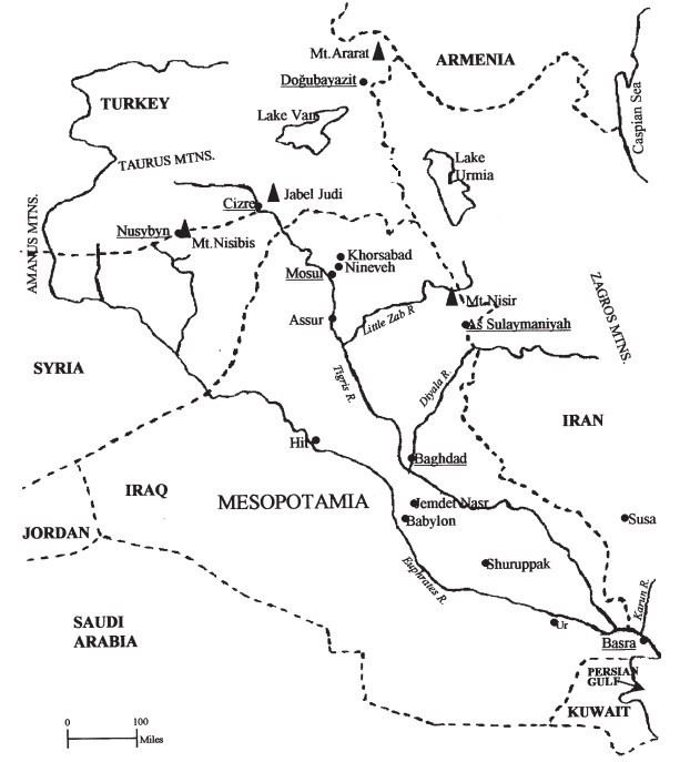
Shuruppak is located in Al-Qādisiyyah Governorate, approximately 35 miles south of Nippur. The site of extends about a kilometer from north to south. The total area is about 120 hectares, with about 35 hectares of the mound being above the three-meter contour.
History of research

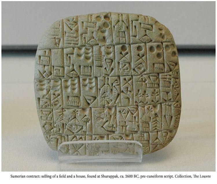
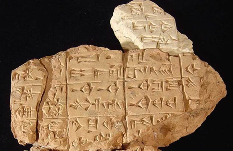
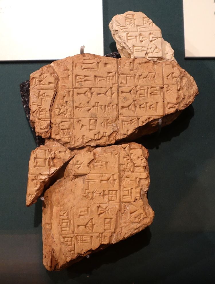
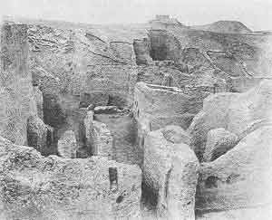
After a brief survey by Hermann Volrath Hilprecht in 1900, it was first excavated in 1902 by Robert Koldewey and Friedrich Delitzsch of the German Oriental Society for eight months. Among other finds, hundreds of pre-Sargonic tablets were collected, which ended up in the Berlin Museum and the Istanbul Museum. In March and April 1931, a joint team of the American Schools of Oriental Research and the University of Pennsylvania excavated Shuruppak for a further six week season, with Schmidt as director and with epigraphist Samuel Noah Kramer. The excavation recovered 87 tablets and fragments—mostly from pre-Sargonic times—biconvex, and unbaked. In 1973, a three-day surface survey of the site was conducted by Harriet P. Martin. Consisting mainly of pottery shard collection, the survey confirmed that Shuruppak dates at least as early as the Jemdet Nasr period, expanded greatly in the Early Dynastic period, and was also an element of the Akkadian Empire and the Third Dynasty of Ur.
Occupation history
Shuruppak became a grain storage and distribution city and had more silos than any other Sumerian city. The earliest excavated levels at Shuruppak date to the Jemdet Nasr period about 3000 BC; it was abandoned shortly after 2000 BC. Erich Schmidt found one Isin-Larsa cylinder seal and several pottery plaques which may date to early in the second millennium BC. Surface finds are predominantly Early Dynastic.
At the end of the Uruk period there was an archaeologically attested river flood in Shuruppak. Polychrome pottery from a destruction level below the flood deposit has been dated to the Jemdet Nasr period that immediately preceded the Early Dynastic I period.
At the peak of its expansion during the Early Dynastic III period (2600 BC to 2350 BC), the city spanned approximately 100 hectares. It was during this time that a catastrophic fire occurred, resulting in the baking of clay tablets and the solidification of mudbrick walls. These remnants have endured for thousands of years.
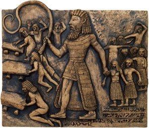
Two possible kings of Shuruppak are mentioned in epigraphic data. In the Sumerian King List a king Ubara-Tutu is listed as the ruler of Shuruppak and the last king "before the flood". In the Epic of Gilgamesh a Utanapishtim (also Uta-na'ishtim), son of Ubara-Tutu, is noted to be king of Shuruppak. The names Ziusudra and Atrahasis are also associated with him. These figures have not been supported by archaeological finds and may well be mythical.