
Country United States ZIP code 24647 Elevation 739 m | Time zone Eastern (EST) (UTC-5) Area code(s) 276 Local time Sunday 2:11 AM | |
 | ||
Weather 4°C, Wind S at 0 km/h, 97% Humidity | ||
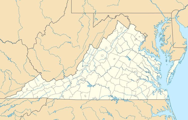
Shortt Gap is an unincorporated community in Buchanan County, Virginia, United States. Shortt Gap is located along U.S. Route 460 northwest of Richlands. Shortt Gap has a post office with ZIP code 24647.
Map of Shortt Gap, VA 24639, USA
References
Shortt Gap, Virginia Wikipedia(Text) CC BY-SA