Length 14 mi (23 km) Hazards Severe weather | Trailheads Le Roy, Adams | |
 | ||
Use Biking, hiking, in-line skating Sights | ||
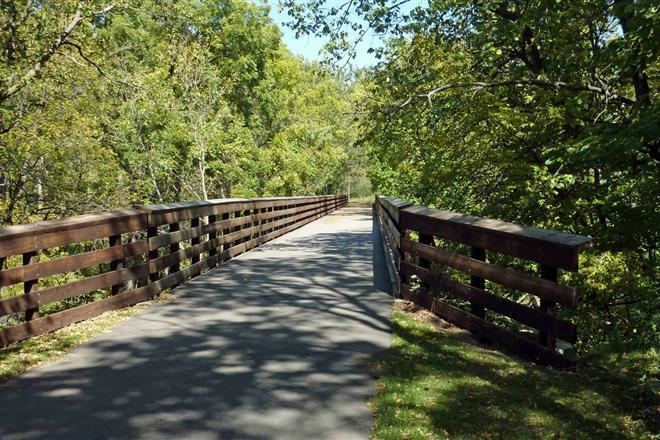
The Shooting Star State Trail is a multi-use recreational trail in southeastern Minnesota, USA. It currently runs 14 miles (23 km) between the towns of LeRoy and Adams, but the long-term plan is to continue through Rose Creek and Austin (where it would intersect with an expanded Blazing Star State Trail) to Lyle.
The route largely follows a leg of Minnesota State Highway 56, which was designated the Shooting Star Wildflower and Historic Route Scenic Byway. Both trail and byway are named for the shooting star, a wildflower. The trail was built on the roadbed of the former Milwaukee Road.
References
Shooting Star State Trail Wikipedia(Text) CC BY-SA
