
Postcode(s) 2787 Elevation 1,355 m | Postal code 2787 | |
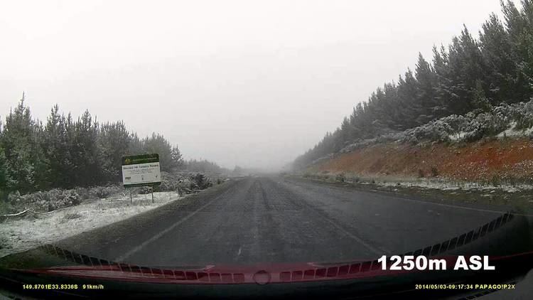 | ||
Shooters Hill is a locality located 25 km south of Oberon, New South Wales. It is the fourth highest point in the Central Tablelands at 1355m ASL behind Mount Canobolas 1394m ASL, Mount Bindo 1363m ASL and Mount Trickett 1362m ASL. Shooters Hill is a common location for snowfalls in the Central Ranges. The tower location at 1355m ASL is along Tower Road, accessible by turning off from a turnoff near the Shooters Hill locality area. The locality area (marked as Shooters Hill on most mapping software) is actually about 1242m ASL only. One can get good views over the area east of Shooters Hill at the tower location.
Map of Shooters Hill NSW 2787, Australia
Shooters Hill Post Office opened on 1 December 1889 and closed in 1978.
References
Shooters Hill, New South Wales Wikipedia(Text) CC BY-SA