
Population 8,652 (2013 est) Region Kimberley Shire of Wyndham East Kimberley Victoria Daly (NT) Founded 1887 Council seat Kununurra | Established 1887 State electorate(s) Kimberley Area 117,514 km² Shire President vacant Federal division Division of Durack | |
 | ||
Website Shire of Wyndham East Kimberley Points of interest Lake Kununurra, Hidden Valley National, Home Valley Station, Mitchell Falls, Hidden Valley Caravan Destinations Kununurra, Lake Argyle, Wyndham, Mitchell Plateau, Mitchell River National | ||
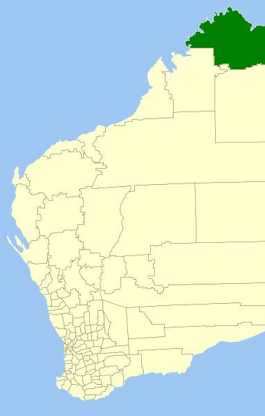
The Shire of Wyndham East Kimberley is one of the four local government areas in the Kimberley Region of northern Western Australia, covering an area of 117,514 square kilometres (45,372 sq mi) at Western Australia's northeastern corner. The Shire's seat of government was originally in Wyndham but now in the town of Kununurra, which is home to over half of the Shire's permanent population of 8,300 (ABS 2001), while a council office is located at Wyndham.
Contents
Map of Wyndham-East Kimberley, WA, Australia
El Questro Wilderness Park, Drysdale River National Park, Lake Argyle, the Argyle diamond mine and about half of Gibb River Road are located within the Shire's boundaries.
History
In 1887, the East Kimberley Road District was gazetted. In 1896, its name was changed to the Wyndham Road District. On 1 July 1961, it became the Shire of Wyndham-East Kimberley under the Local Government Act 1960.
The early 1960s establishment of Kununurra and the Ord River Irrigation Area eventually led to moving the seat of local government from Wyndham to Kununurra, which by the 1980s had become a larger centre of population.
Many large cattle stations exist in the area including Argyle Downs which was established by Patrick Durack and his brother Michael in 1882.
Wards
The Shire of Wyndham East Kimberley has nine (9) Councillors elected to represent the whole of the Shire. Currently all offices of council are vacant as declared by the Governor of Western Australia on 28 September 2016.
Commissioner Ron Yuryevich was appointed as commissioner of the Shire of Wyndham East Kimberley on Wednesday 28 September 2016 and his appointment will remain in place until the next scheduled local government elections.