
Population 1,676 (2012 est) President Ian Wallace Area 110 ha Council seat Peppermint Grove Federal division Division of Curtin | Established 1895 State electorate(s) Cottesloe Founded 1895 Region Perth | |
 | ||
Website Shire of Peppermint Grove | ||
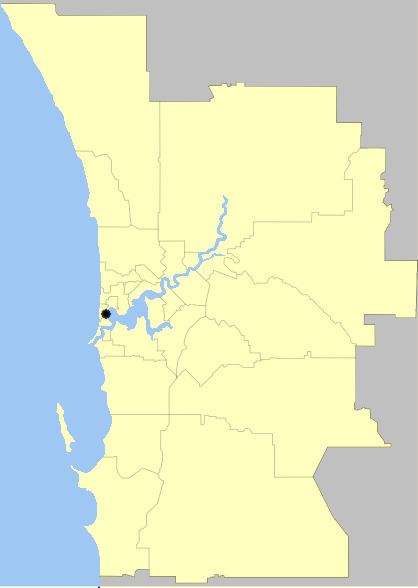
The Shire of Peppermint Grove is a small local government area in western metropolitan Perth, the capital of Western Australia, between Mosman Park and Claremont about 12 km southwest of Perth's central business district. The Shire of Peppermint Grove, at 1.1 square kilometres (0.42 sq mi), is the smallest local government area in Australia.
Contents
Map of Peppermint Grove, WA 6011, Australia
History
The Peppermint Grove Road District was gazetted in 1895. On 1 July 1961, it became a shire under the Local Government Act 1960.
The shire was located on the Perth–Fremantle road (now Stirling Highway) and had received assistance in its maintenance in the past.
Wards
The town has seven councillors and no wards.
Suburbs
References
Shire of Peppermint Grove Wikipedia(Text) CC BY-SA