
Population 5,753 (2013 est) State electorate(s) Collie-Preston Shire of Donnybrook Balingup Boyup Brook Founded 1970 Mayor Angelo Logiudice Team Dublin United F.C. | Established 1970 Federal Division(s) Forrest Area 1,560 km² Council seat Donnybrook Region South West | |
 | ||
Website Shire of Donnybrook Balingup Points of interest Apple Fun Park, Golden Valley Tree Park, Balingup Lavender Farm, Barton Jones Wines, Oakway Estate Wines | ||
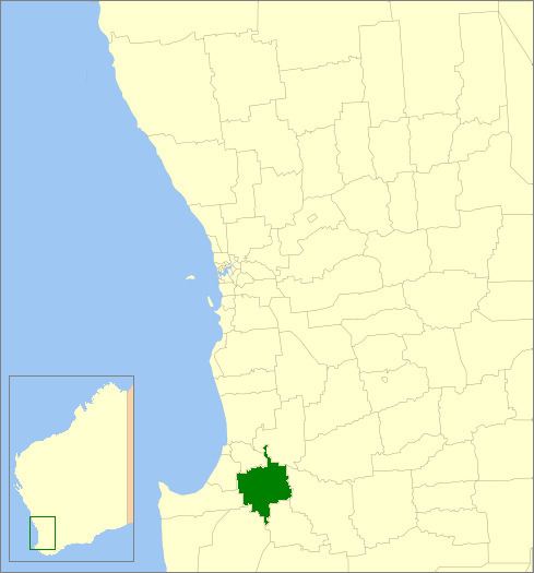
The Shire of Donnybrook-Balingup is a local government area in the South West region of Western Australia, about 35 kilometres (22 mi) southeast of Bunbury and about 220 kilometres (137 mi) south of the state capital, Perth. The Shire covers an area of about 1,560 square kilometres (602 sq mi), and its seat of government is the town of Donnybrook.
Contents
Map of Donnybrook-Balingup, WA, Australia
History
The Upper Capel Road District (renamed to Balingup Road District in 1905) was gazetted in 1899, while the Preston Road District was gazetted in 1896. On 1 July 1961, they became the Shires of Balingup and Donnybrook respectively under the Local Government Act 1960. On 26 March 1970 the two shires were merged, with the new council being administered from Donnybrook.
The Shire of Donnybrook-Balingup is also home to a number of heritage-listed historic properties including Ferndale Homestead and Southampton homestead.
Wards
In 2001 the Shire abolished wards and all nine councillors represent the entire shire.
Prior to this, four wards made up the council;