
 | ||
Similar Talpiot Tomb, Tel Hazor, Dan, Nahal Betzet, Nahal Ayun | ||
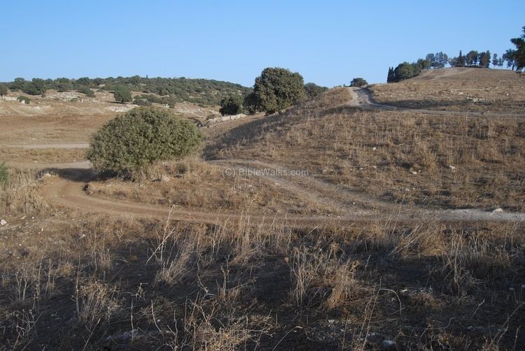
Shimron (Hebrew: שמרון) is a nature reserve in Northern Israel.
Contents
- Hon priest shimron hon priest kailash
- Bronze Age to Middle Ages
- Ottoman era
- British Mandate era
- Nature reserve
- References
Shimron was the name of a major city in the north of Israel in early antiquity. It is mentioned in the Bible by this name, and in other period sources as Shim'on. In late antiquity, it was known by the name Simonias (Hebrew: סימונייה). The city is identified with the tell called Tell Samunia in Arabic, also written Samunieh. The tell rises 60 meters above its surroundings, north-east of moshav Nahalal, on the border between the Lower Galilee, and the Jezreel Valley. Today the tell in not settled, Timrat was established alongside, to the east.
Hon priest shimron hon priest kailash
Bronze Age to Middle Ages
Shimron was one of the Bronze Age fortified Canaanite cities that controlled the Jezreel Valley, possibly the largest of them. All of these cities were located at an entrance to the valley, and controlled one of the roads leading into it.
In the Amarna letters and the Execration texts, the city is referred to as Shim'on. It is also mentioned as one of the cities that were attacked by Joshua (Joshua 12:20), and also as belonging to the Tribe of Zebulun (Joshua 19:15).
In the Hellenistic period, there was a large settlement at the foot of the tell, called Shimonia or Samunia. The city was central during First Jewish–Roman War, and in 66 CE a battle occurred here between the Jewish rebels and the Romans, who besieged the city. Josephus, mentioning the village by name, states that he was attacked there at night by the Roman decurion, Æbutius, who had been entrusted with the charge of the Great Plain and who had one-hundred horse and two-hundred infantry at his disposal. The Roman soldiers, however, were forced to withdraw since their horses were of little use in that terrain (Life of Flavius Josephus, § 24).
The name of the city occurs also elsewhere, in the Babylonian Talmud (Niddah 24b), and in the Middle Ages it is mentioned by Ishtori Haparchi ("Kaftor wa-Feraḥ", ch. xi, written in 1322).
Artificial mounds, traces of ruins, and a sarcophagus have been found here.
Ottoman era
A map from Napoleon's invasion of 1799 by Pierre Jacotin showed a village here, named Sammouni. In 1838, Edward Robinson found here a small Arab village called Semunieh, and he noted it again in 1852.
In 1867, a group of German Templers attempted to establish a settlement on the site, which failed due to malaria.
In 1875, Victor Guérin visited the place and noted:
"The present village has succeeded a small ancient city, now completely destroyed. East of the site which it occupied rises a round isolated hill, which commands the plain in every direction, and was once surrounded on its summit by a wall, of which a few traces still remain. This hill must probably have been fortified. Scarped towards the east, it slopes gently on the western side towards the town, which covered the lower hillocks at its feet. Among them I found, in the midst of the various debris which cover the soil, the remains of a building in cut stone, completely overthrown, once ornamented by columns, as is attested by two mutilated shafts lying on the spot. This edifice seems to have been constructed from east to west, so that it may have been a Christian church.
"In another place I saw an enclosure measuring thirty-five paces in length by twenty-five in breadth. From a distance it appears ancient. It is, however, of modern date, constructed of stones of all sizes and shapes ; among them pillars of broken sarcophagi".
In 1881, the Palestine Exploration Fund's Survey of Western Palestine (SWP) described it as a small village on a knoll with three springs, having probably less than 100 inhabitants.
Gottlieb Schumacher, as part of surveying for the construction of the Jezreel Valley railway, noted in 1900 that the village “had not increased [since the 1881 SWP survey] due to its unhealthy position and bad water. The proprietor, Sursock, built a number of dwellings covered with tile masonry.”
British Mandate era
In 1936, the site became an agricultural training station for the Moshavim Movement. One group that trained here came from Nahalal, and continued on to establish kibbutz Hanita.
In 1948, kibbutz Timorim was established on the site. Timorim became a moshav shitufi in 1953 and moved to the south of the country, due to lack of farming lands. When it was vacated, it became a Ma'abara (transit camp) for new immigrants destined for Migdal Ha'Emek and Ramat Yishai.
Nature reserve
In 1965, a 28-dunam nature reserve was declared, preserving the Apple-ring Acacia (syn. Acacia albida) trees that grow on the site. This is the northern-most occurrence of these trees in Israel. The Apple-ring Acacia, native to Africa and the Middle East, is used for nitrogen fixation, erosion control for crops, for food, drink and medicine. It sheds its leaves in the rainy season and is highly valued in agroforestry as it can grow among field crops without shading them.