
Area 187.3 km² Established July 22, 1968 | ||
 | ||
Governing body Aomori, prefectural governments | ||
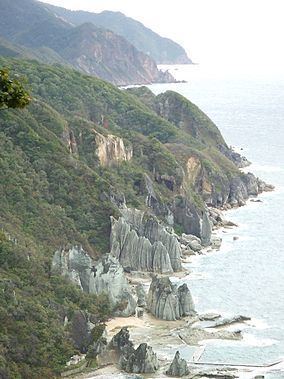
Shimokita Hantō Quasi-National Park (下北半島国定公園, Shimokita-hantō Kokutei Kōen) is a quasi-national park in the Shimokita Peninsula of Aomori Prefecture in the Tohoku region of far northern Honshū in Japan. It is rated a protected landscape (category V) according to the IUCN. The park, consists of several discontinuous locations, which include:
The park also encompasses a portion of the natural habitat of the Japanese macaque. The mountainous interior is forested with Siebold's beech and Nootka cypress, and coastal areas have stands of tilia and oak. The area was designated a quasi-national park on July 22, 1968.
The borders of the park span the municipalities of Mutsu, Higashidōri, Sai, and Ōma.
Like all Quasi-National Parks in Japan, Shimokita Hantō Quasi-National Park is managed by the local prefectural government.