
Founded 1982 | Council Har Hebron Population (2015) 538 | |
 | ||
Weather 18°C, Wind W at 26 km/h, 47% Humidity | ||
Shim'a (Hebrew: שִׁמְעָה), also Yonadav (Hebrew: יוֹנָדָב), is a non-religious communal Israeli settlement in the southern Judaean Mountains of the West Bank along the Green Line south of Livne and Teneh Omarim. Located on a hill 600 metres above sea level, it falls under the jurisdiction of Har Hebron Regional Council. In 2015 it had a population of 538.
Contents
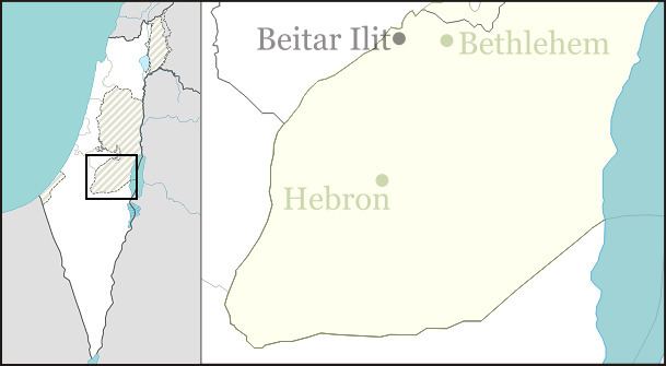
Map of Shim'a
The international community considers Israeli settlements in the West Bank illegal under international law, but the Israeli government disputes this.
History
The settlement was first established in 1982 as a pioneer Nahal military outpost, and demilitarized when turned over to residential purposes in 1988. As of 2015, Shim'a had approximately 600 residents. It is named after King David's brother Shimeah and his son Jonadab (2 Samuel 13:3).