
Area 182,000 km2 | Population 703,292 | |
 | ||
Points of interest Tashilhunpo Monastery, Sakya Monastery, Rongbuk Monastery, Palcho Monastery, Shalu Monastery | ||
Map of Shigatse
Shigatse, officially known as Xigazê (Chinese: 日喀则; pinyin: Rìkāzé), is a prefecture-level city of the Tibet Autonomous Region of China, with an area of 182,000 km2 (70,271 sq mi). It is located within the historical Tsang province of Tibet.
Contents
- Map of Shigatse
- Tashilhunpo monastery shigatse tibet in hd
- Shigatse and gyantse tibet part 2
- Overview
- Rail
- Air
- Road
- References
Tashilhunpo monastery shigatse tibet in hd
Shigatse and gyantse tibet part 2
Overview
The administrative center of the prefecture-level city is the Samzhubzê District. It is roughly equivalent to the ancient Shigatse urban center, the second-largest city in Tibet, located about 280 km (174 miles) southwest of Lhasa and home to the Tashilhunpo Monastery, traditionally the seat of the Panchen Lama.
Some of the towns in the prefecture are: Gyantse (Gyantse County), Tingri (Tingri County), and Nyalam (Nyalam County).
On 11 July 2014 Shigatse Prefecture was upgraded into a prefecture-level city (the same status as Lhasa).
Rail
The Lhasa–Xigazê Railway connects Xigazê Railway Station with Lhasa and further connects with Qinghai via Qinghai–Tibet Railway.It takes about 3 hours to travel between Lhasa and Shigatse by train. It can be returned from Lhasa within one day.
Air
Shigatse Peace Airport began operations on 30 October 2010 after an Airbus A319 landed safely, This makes it Tibet's fifth commercial airport. It is located 43 kilometres from Samzhubzê District at Jangdam Township at an altitude of 3,782 metres. The airport is designed to handle up to 230,000 passengers annually by 2020.
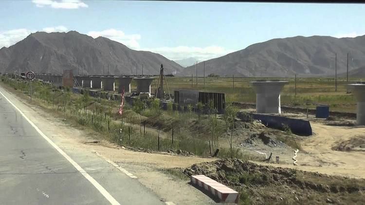
Road
China National Highway 318 and China National Highway 219 are the main roads in and out of Shigatse.