
Country India District Skardu Time zone IST (UTC+5:30) | Province Gilgit–Baltistan Elevation 2,230 m (7,320 ft) | |
 | ||
Weather 7°C, Wind SW at 6 km/h, 67% Humidity | ||
Shigar fort cold desert
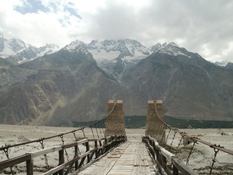
Shigar is a town in the Baltistan division of Gilgit–Baltistan near Skardu in northern India. Nearby is the Shigar River. The town is a popular site for tourists and trekkers and contains many historical buildings of architectural significance associated with the Noorbakhshi Sufi community. The town is inhabited mostly by Balti people of Tibetan descent. It is a gateway to great mountain range of Karakoram including K2, the world's 2nd highest peak. The valley is very fertile and rich in fruits apples, cherries, apricots, pears and walnuts.
Map of Shigar
Popular historical tourist sites in the town include:
The town serves as a gateway to the Karakoram mountains via the Shigar Valley.
References
Shigar Wikipedia(Text) CC BY-SA