
Maintained by Strathcona County Length 10.8 km | Location Sherwood Park Province Alberta | |
 | ||
South end Highway 628 (Township Road 522, Whitemud Drive) / Range Road 233 Major
junctions Wye Road, Broadmoor Boulevard, Brentwood Boulevard, Baseline Road North end Yellowhead Trail (Highway 16) | ||
Sherwood Drive is a major arterial road in Sherwood Park, Alberta, Canada. Like all arteries of Sherwood Park, it does not run straight, has no street number, and mostly runs through residential. Range road 232, north of Highway 16, falls in the City of Edmonton city limits, where it is called 33 Street NE.
Contents
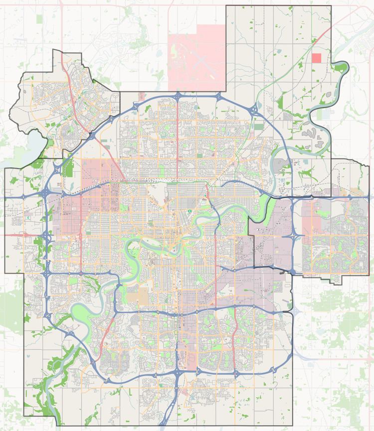
Map of Sherwood Dr, Sherwood Park, AB, Canada
Neighbourhoods
List of neighbourhoods Sherwood Drive runs through, in order from south to north:
Interchanges and intersections
This is a list of major intersections, starting at the south end of Sherwood Drive.
References
Sherwood Drive Wikipedia(Text) CC BY-SA