
Country United States Elevation 291 m Local time Saturday 3:21 AM | GNIS feature ID 0469628 Area 206.7 km² Population 1,451 (2010) | |
 | ||
Weather 9°C, Wind NE at 13 km/h, 85% Humidity | ||
Sheridan Township is a township in Crawford County, Kansas, USA. As of the 2010 census, its population was 1,451.
Contents
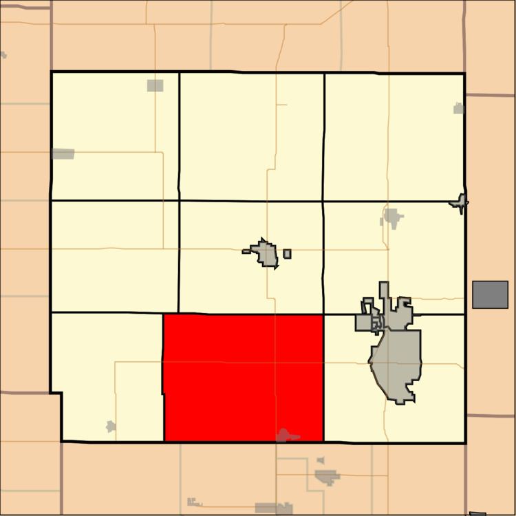
Map of Sheridan, KS, USA
Geography
Sheridan Township covers an area of 79.81 square miles (206.7 km2) and contains one incorporated settlement, Cherokee. According to the USGS, it contains five cemeteries: Beulah, Cherokee, Meyers, Monmouth and Osage.
The streams of Grindstone Creek, Limestone Creek, Thunderbolt Creek and Wolf Creek run through this township.
References
Sheridan Township, Crawford County, Kansas Wikipedia(Text) CC BY-SA