
Language spoken Hindi District | State | |
 | ||
Map of Sherghati
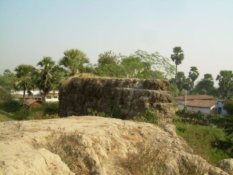
Sherghati (formerly Shergotty) is a town of the Gaya district in Bihar, India. The Morhar River surrounds it. Sherghati was under Chero rule but during 1700 it came under rule of Rohilla chief Azam Khan.In 1857 Raja Jehangir Bux Khan revolted against the British.
Contents
- Map of Sherghati
- Funny indian marriage dance at sherghati bihar
- Jnv 2 sherghati gaya flag hosting
- Geography
- Demographics
- Education
- References
A meteorite that came from Mars fell here in 1865; it is now kept in a London museum and is known as the Shergotty meteorite.
Funny indian marriage dance at sherghati bihar
Jnv 2 sherghati gaya flag hosting
Geography
Sherghati is located at 24.57°N 84.78°E / 24.57; 84.78. It has an average elevation of 121 metres (396 feet).
Demographics
As of 2011 India census, Sherghati had a population of 60,000. Males constitute 53% of the population and females 47%. Sherghati has an average literacy rate of 70%, higher than the national average of 59.5%: male literacy is 80%, and female literacy is 66%. In Sherghati, 19% of the population is under 6 years of age.
Education
Template:As of 2017 There are few good colleges and school in shanghati. {1.DAV PUBLIC SCHOOL} {2.GURUKUL} {3.HOLY FAMILY PUBLIC SCHOOL} {4.CRANE SCHOOL} {5.SMSG COLLEGE} {6.Ranglal high school} {7.EDUCARE}