Population 14,100 (2005) Post town MAIDSTONE | Sovereign state United Kingdom Postcode district ME Local time Saturday 8:33 AM Dialling code 01622 | |
 | ||
Weather 10°C, Wind S at 11 km/h, 84% Humidity | ||
Android timelapse of my road in shepway maidstone kent in england
Shepway is a suburb to the south-east of Maidstone in Kent, England. It lies to the south of Mote Park, to the east of Loose Road (A229) and Sutton Road (A274) and west of Willington Street. The land was formerly farmland and orchards. The suburb takes its name from Shepway Court a country house located where the road of that name is today.
Contents
- Android timelapse of my road in shepway maidstone kent in england
- Map of Shepway Maidstone UK
- References
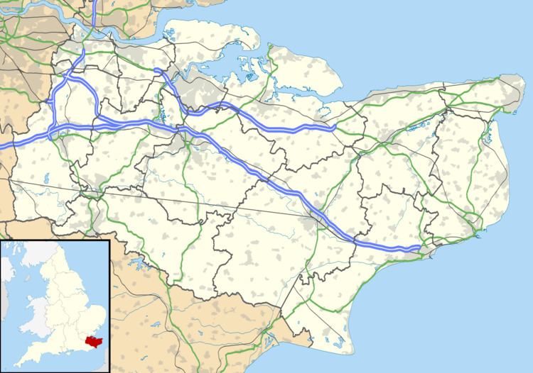
Map of Shepway, Maidstone, UK
Construction of the suburb started in the 1930s with the building of South Park Road, the western ends of Plains Avenue and Marion Crescent and Cranborne Avenue (originally named Shepway Avenue) and parts of Brockenhurst, Ringwood and Lyndhurst Roads. The majority of the suburb was constructed as a council estate by Maidstone Borough Council in stages after World War II. Phases of infill construction continued up to the present. The original grid of roads laid out for the council estate after World War II bear names of traditional English counties (for example Northumberland Road, Cambridge Crescent, Hampshire Drive, Rutland Way and Nottingham Avenue). The estate was originally planned with large areas of open land for recreation, although later building has encroached on some of this space.
During the 1950s and 1960s the lead partner at the estate's medical centre was Dr Alan Barnsley, better known as the award winning novelist and poet Gabriel Fielding.
