
Country Canada Established 1784 Area 2,467 km² Team Barrington Ice Dogs | Population 13,966 (2016) Area code Area codes 902 and 782 | |
 | ||
Electoral DistrictsFederal South Shore—St. Margaret's Capital Municipality of the District of Shelburne Points of interest Shelburne County Museum, Dory Shop Museum, Black Loyalist Heritage, Seal Island Light Museum, Shag Harbour Incident S | ||
Broadband shelburne county nova scotia
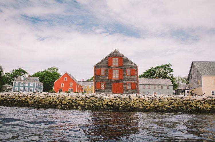
Shelburne County is a county in the Canadian province of Nova Scotia.
Contents
- Broadband shelburne county nova scotia
- Map of Shelburne County NS Canada
- History
- Demographics
- Communities
- Access routes
- Notable people
- References
Map of Shelburne County, NS, Canada
History
Shelburne County was founded in 1784 shortly following the influx of Loyalist settlers evacuated from the newly independent United States of America. It was originally named Port Roseway, until it became a very busy town and was considered to be the capital of Nova Scotia, in which the name was changed to Shelburne in an attempt to please Lord Shelburne, the British Prime Minister from 1782 to 1783. The boundaries of Shelburne County were established by Governor and Council on December 16, 1785.
The first Loyalists arrived in May 1783. They were faced with a somewhat bleak environment in which to make their homes. The land is very rocky with acidic soil. There is also a lot of forest.
The area had previously been settled by French-speaking Catholic Acadians, many of whom had been deported to British Colonies. The new arrivals included Black Loyalists who were given substandard land, particularly around Birchtown. In 1796 about 600 Jamaican Maroons were deported to this area of Nova Scotia as well.
In 1824, at a time when the lines of a number of counties were being cut out and marked, the boundary between Queens and Shelburne Counties was surveyed.
In 1836 Shelburne County was divided into two separate and distinct counties with Yarmouth County being formed out of what had been part of Shelburne County.
In 1854, Shelburne County was divided into two districts for court sessional purposes - Shelburne and Barrington. In 1879, these districts were incorporated as district municipalities.
Demographics
As a census division in the 2016 Census of Population conducted by Statistics Canada, Shelburne County recorded a population of 13,966 living in 6,378 of its 7,765 total private dwellings, a change of −3.7% from its 2011 population of 14,496. With a land area of 2,467.39 km2 (952.66 sq mi), it had a population density of 5.7/km2 (14.7/sq mi) in 2016.
Communities
Access routes
Highways and numbered routes that run through the county, including external routes that start or finish at the county boundary: