
Country Pakistan Tehsil Abbottabad | District Abbottabad Province Khyber Pakhtunkhwa | |
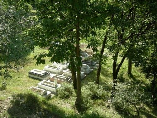 | ||
Ground 3 visit with trees lambi dogi sheikh ul bandi abbottabad mov
Sheikh-ul-Bandi is one of the 51 union councils (sub-divisions) of Abbottabad District in Khyber-Pakhtunkhwa province of Pakistan. The Union council takes its name from a neighbourhood which is 3 km from the city of Abbottabad. It is in the valley toward the north-west of the Sarban Hills. It is located at 34° 8' 60N, 73° 13' 60E
Contents
- Ground 3 visit with trees lambi dogi sheikh ul bandi abbottabad mov
- Map of Sheikh ul Bandi Abbottabad Pakistan
- Languages
- Ethnic groups
- Subdivisions
- References
Map of Sheikh-ul-Bandi, Abbottabad, Pakistan
Languages
The main language is Hindko, Pashto, although Urdu is also spoken and understood.
Ethnic groups
− The predominant ethnic group of Sheikhul Bandi are the Jadoons. There are also some other families that belong to Awans,Mughals, Kashmiris, Karlals, Rajas and other ethnic groups.
Subdivisions
The Union Council is subdivided into the following areas: Cantonment, Qasba Abbottabad, Sheikhul Bandi and Rakh Civil Military.
References
Sheikh-ul-Bandi Wikipedia(Text) CC BY-SA