
Topo map USGS Sheep Mesa Elevation 3,533 m | Easiest route Scramble | |
 | ||
Similar Eagle Peak, Mount Ord, Picketpost Mountain, Granite Mountain, Panther Mountain | ||
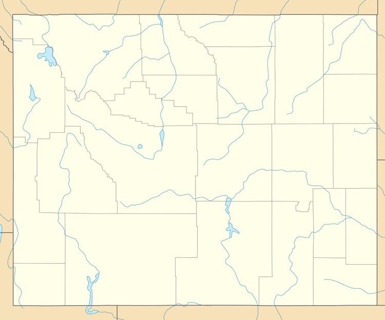
Sheep Mesa (11,590 ft (3,530 m)) is located in the Absaroka Range in the U.S. state of Wyoming. Sheep Mesa is at the south end of Blackwater Canyon and is at the head of the drainage for Blackwater Creek. Fortress Mountain is 1 mi (1.6 km) south of Sheep Mesa.
Map of Sheep Mesa, Wyoming 82414, USA
References
Sheep Mesa (Park County, Wyoming) Wikipedia(Text) CC BY-SA