
Quadrant SW Established 1981 Area 2.7 km² Local time Friday 4:43 PM | Ward 13 Elevation 1,060 m (3,480 ft) Population 9,315 (2011) | |
 | ||
Weather 15°C, Wind SW at 16 km/h, 26% Humidity Restaurants Shawnessy Vietname Restaura, Phoenix Grill, Pacific Hut Express, Red Rock Pizza Express, Pizza Crave | ||
Lightning shawnessy calgary alberta 7 1 2015 3 00am
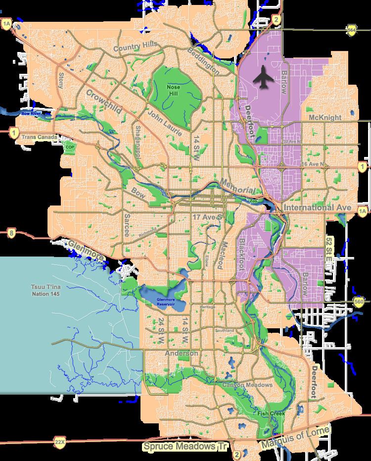
Shawnessy is a suburban residential neighbourhood in the south-west quadrant of Calgary, Alberta. It is bounded by Shawnessy Boulevard to the north, MacLeod Trail to the east, 162 Avenue S to the south and James McKevitt Road to the west.
Contents
- Lightning shawnessy calgary alberta 7 1 2015 3 00am
- Map of Shawnessy Calgary AB Canada
- Demographics
- Education
- References
Map of Shawnessy, Calgary, AB, Canada
Shawnessy was established in 1981. It is represented in the Calgary City Council by the Ward 13 councillor.
It is served by the Shawnessy station of the C-Train LRT system. Shawnessy Town Centre is a regional shopping area located east of the community, and Fish Creek Provincial Park is located north of the neighbourhood.
Demographics
In the City of Calgary's 2012 municipal census, Shawnessy had a population of 9,385 living in 3,300 dwellings, a 0.8% increase from its 2011 population of 9,315. With a land area of 3.7 km2 (1.4 sq mi), it had a population density of 2,540/km2 (6,570/sq mi) in 2012.
Residents in this community had a median household income of $72,687 in 2000, and there were 6.7% low income residents living in the neighbourhood. As of 2000, 16.7% of the residents were immigrants. A proportion of 6.1% of the buildings were condominiums or apartments, and 5.7% of the housing was used for renting.
Education
The community is served by Father Doucet Elementary School (Calgary Catholic School Board) and Janet Johnstone Elementary public school. A middle school named Samuel W. Shaw School also serves the community.