
Country United States Time zone CST (UTC-6) Elevation 102 m Zip code 62984 Local time Friday 5:40 PM | Established November 5, 1890 ZIP codes 62984 Area 62.78 km² Population 230 (2010) | |
 | ||
Weather 10°C, Wind NW at 14 km/h, 76% Humidity | ||
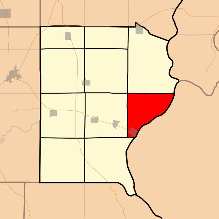
Shawnee Township is one of ten townships in Gallatin County, Illinois, USA. As of the 2010 census, its population was 230 and it contained 137 housing units.
Contents
- Map of Shawnee Township IL 62984 USA
- Geography
- Cities towns villages
- Cemeteries
- Major highways
- Rivers
- Lakes
- Landmarks
- School districts
- Political districts
- References
Map of Shawnee Township, IL 62984, USA
Geography
According to the 2010 census, the township has a total area of 24.24 square miles (62.8 km2), of which 23.47 square miles (60.8 km2) (or 96.82%) is land and 0.77 square miles (2.0 km2) (or 3.18%) is water.
Cities, towns, villages
Cemeteries
The township contains Immaculate Conception Cemetery.
Major highways
Rivers
Lakes
Landmarks
School districts
Political districts
References
Shawnee Township, Gallatin County, Illinois Wikipedia(Text) CC BY-SA