
Country United States GNIS feature ID 453841 Local time Friday 6:40 PM | FIPS code 18-69084 Elevation 205 m Population 672 (2010) | |
 | ||
Weather 5°C, Wind N at 19 km/h, 86% Humidity Area 90.18 km² (89.79 km² Land / 41 ha Water) | ||
Shawnee Township is one of eleven townships in Fountain County, Indiana, United States. As of the 2010 census, its population was 672 and it contained 282 housing units.
Contents
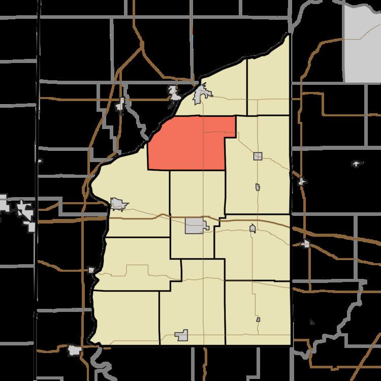
Map of Shawnee Township, IN, USA
Geography
According to the 2010 census, the township has a total area of 34.82 square miles (90.2 km2), of which 34.67 square miles (89.8 km2) (or 99.57%) is land and 0.16 square miles (0.41 km2) (or 0.46%) is water. It contains no incorporated settlements. The unincorporated communities of Aylesworth and Rob Roy both lie along the route of U.S. Route 41, while Fountain is in the far west on the east banks of the Wabash River. State Road 55 shares the route of U.S. 41 south from Attica until it reaches Rob Roy, at which point State Road 55 goes east while U.S. 41 continues south.
Cemeteries
Beulah Cemetery lies in the northeast part of the township; Brown Cemetery lies in the southwest.