
County Hamilton FIPS code 39-71958 Area 18 km² | Time zone Eastern (EST) (UTC-5) Elevation 222 m Population 724 (2010) | |
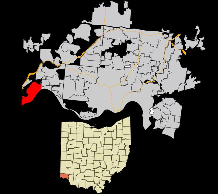 | ||
Shawnee is a census-designated place (CDP) in Miami Township, Hamilton County, Ohio, United States, 21 miles (34 km) west of downtown Cincinnati. The population of Shawnee was 724 at the 2010 census.
Geography
Shawnee is located in the southwest corner of the state of Ohio, occupying the land between the Ohio and Great Miami rivers. To the south is Boone County, Kentucky, and to the west is Dearborn County, Indiana. To the north, across the Great Miami River, is Whitewater Township, and to the east are the villages of Cleves and North Bend. Much of the central heights of the CDP are taken up by Shawnee Lookout County Park. The area is also home to the Shawnee Lookout Archeological District.
Shawnee is located at 39°7′29″N 84°47′25″W. According to the United States Census Bureau, the CDP has a total area of 6.9 square miles (18.0 km2), of which 6.4 square miles (16.6 km2) is land and 0.54 square miles (1.4 km2), or 7.63%, is water, consisting mainly of the Ohio and Great Miami rivers.