
OS grid reference SD892207 Post town ROCHDALE Dialling code 01706 | Sovereign state United Kingdom Local time Friday 11:19 PM District Rossendale | |
 | ||
Population 3,586 (2011. Ward of Facit and Shawforth) Weather 9°C, Wind S at 16 km/h, 89% Humidity | ||
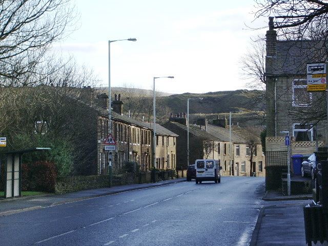
Shawforth is a suburban village within the Rossendale borough of Lancashire, England. It lies amongst the South Pennines along the course of the River Spodden and A671 road. It is 1.9 miles (3.1 km) north-northeast of Whitworth(where population details are included), 5.2 miles (8.4 km) east-southeast of Rawtenstall, and 14.2 miles (23 km) to the north-northeast of Manchester. The appropriate Rossendale ward is called Facit and Shawforth. At the 2011 census it had a population of 3,586.
Map of Shawforth, Rochdale, UK
Shawforth in the Middle Ages was a hamlet within the township of Spotland and parish of Rochdale.
Shawforth railway station served Shawforth from 1881 until its closure in 1947.
It is part of the Rossendale and Darwen constituency, with Jake Berry having been the Member of Parliament since 2010.